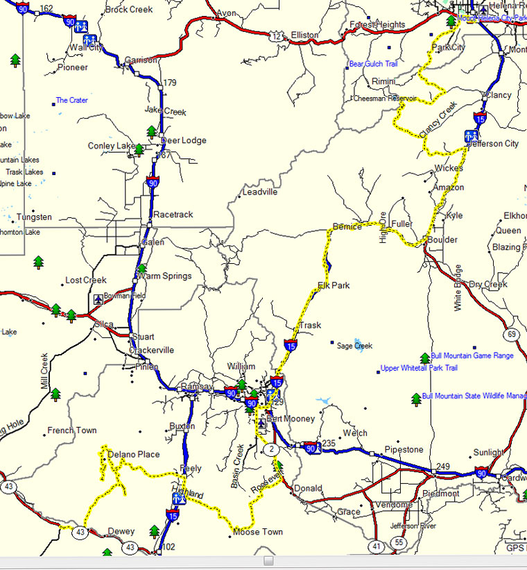
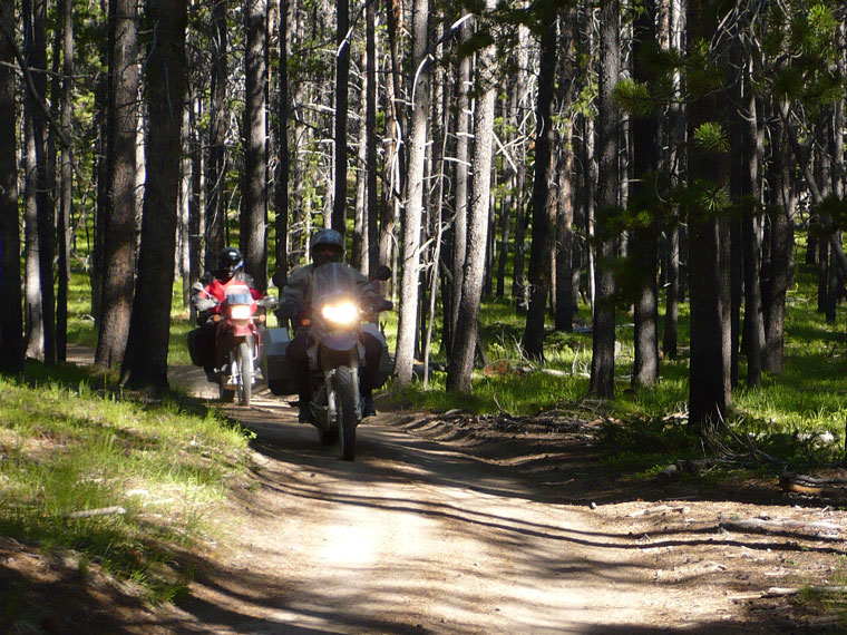
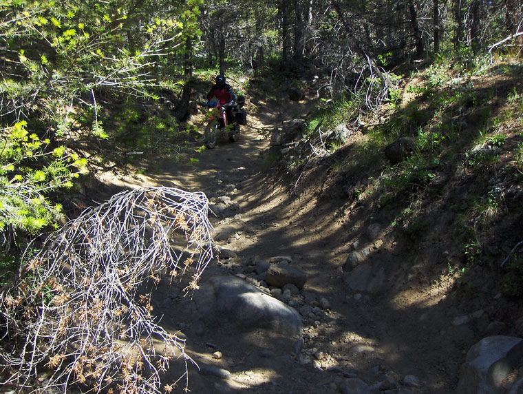
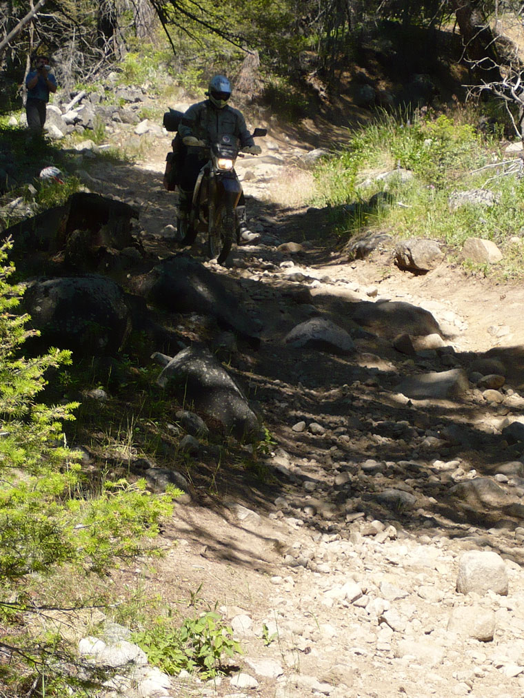
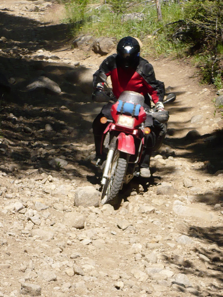
We departed Helena on July 4th and deviated from the route to do what’s call the Lava Mountain trail, difficult sections for the dirt newbies and those with larger loads and bikes along for the ride with a few crashes and tipovers (caught on video) and some slow going. I had an off trail excursion caught on helmet cam. I liked it though and didn't have any issues, but we decided to bypass part of the trail and skip part of the Lava mtn trail that looked like we would be going up something like we just came down, so we hit some pavement before catching the rest of the route to Butte, MT.
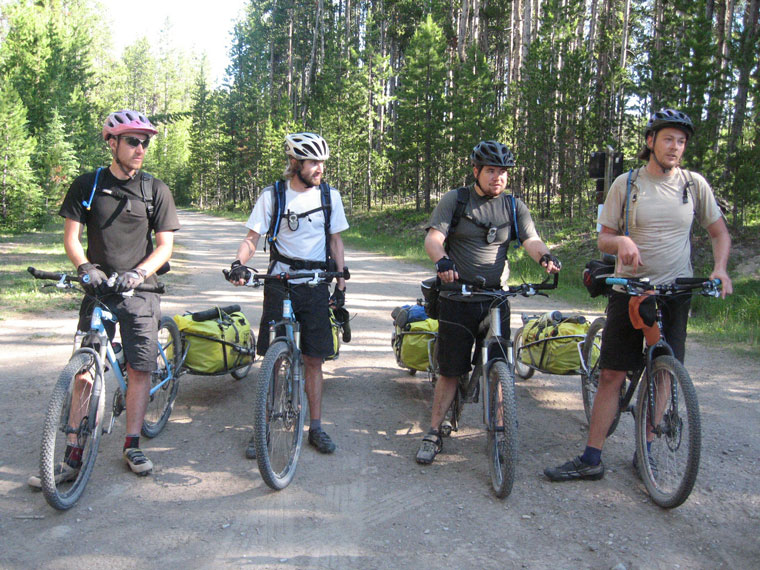
The Lava mountain video's and photo's.
Bloopers (crashes). High quality download Low quality Google video
Steve's video & commentary. High quality download Low quality Google video
Helmet camera video of the trail. High quality download Low quality Google video
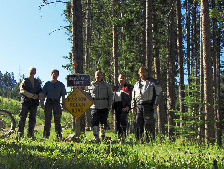
Some bikers who went the right way on the route.
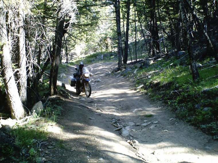
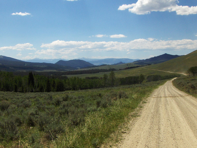
The trail along I-15 to Butte, Mt followed an old rail bed and was pretty interesting. We had lunch and Bruce decided to return home and not continue the ride. Video of the rail bed: High quality Low quality Google video
The route after lunch.
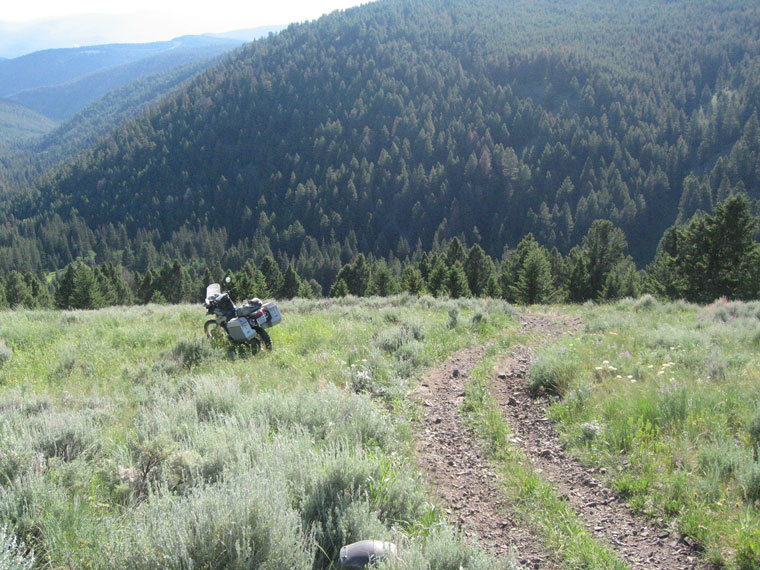
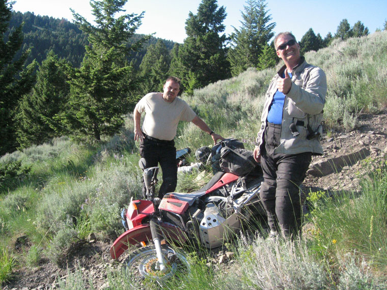
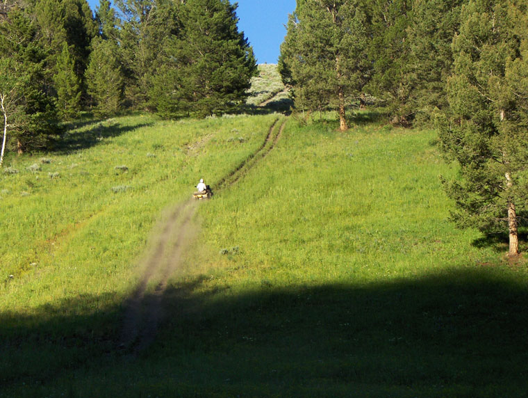
We continued the ride on the dirt and followed a section of the mountain bike route through Fleecer Mountain that was bypassed by the Sampson/Bigdog GPS track for very good reasons. We had a disagreement about wether or not to follow the GPS track or follow the mountain bike map route. We followed the bike route and missed a turn and ended up up an a dead end FS route of about 10 miles that we had to back track and then had trouble finding the mountain bike route. We finally found the route with the help of some locals camping and riding in the area, who said we could make it on our bikes, wrong.
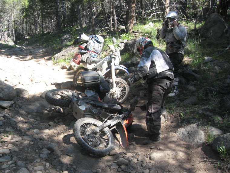
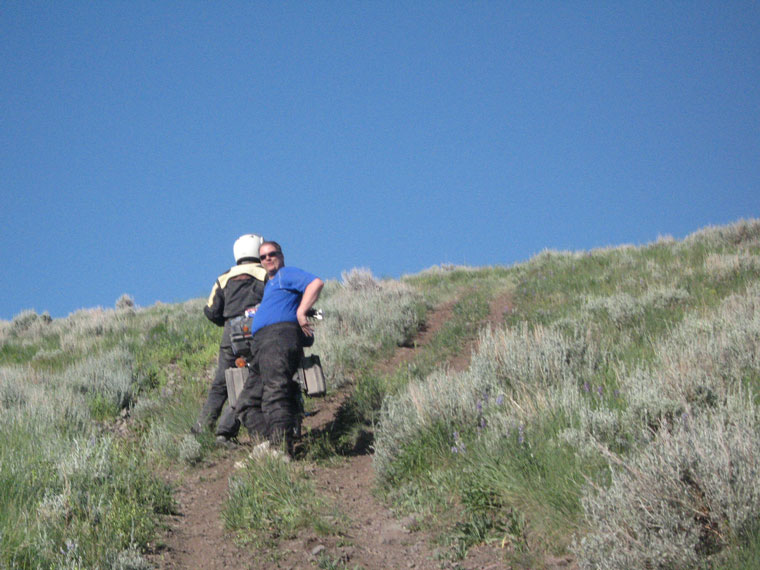
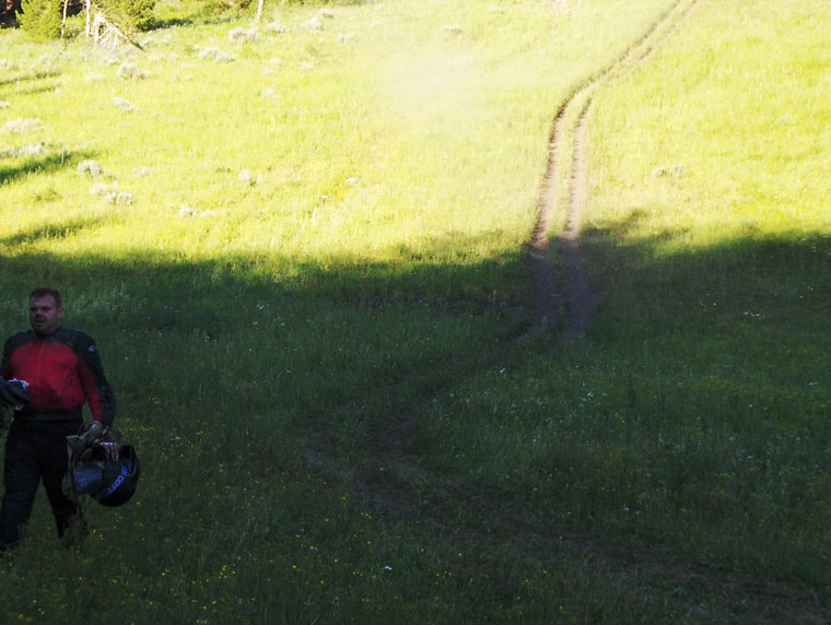
It ended up in a very steep loose shale atv track that is simply not easily doable on a heavy loaded down bike. It started out steep and just got steeper, so steep that you couldn't see very far down the track until it was too late. I was first and crashed hard washing out the front and started hiking back to warn the others. I banged up my right foot, elbow, and knee. Mike was able to stop, but was unable to hold the bike up and dropped it. Steve and Frank were smart enough to slow down and stop and walk over to the edge to see what the trail was like and I was able to tell them to not come any further, they were not going to make it down and Mike and I were not going to make back up. This was at about 5 pm in the afternoon and we were wondering what the hell we were going to do. After off loading the gear off of frank's KLR and several attempts with the three of us pushing, we finally got him going up the hill to go get help.
While waiting, I off loaded the gear from my bike and started hiking it down the hill to get it near the bottom and check the rest of the hill out. Help (the same people who directed us to the trail) had arrived by the time I got back up to my bike. With an ATV they were able to haul up Frank and Steve's off loaded gear up the hill and Mike and mine down to the bottom of the hill. One of the riders (a MX racer) rode the unloaded BMW 650 back up the hill and rode Mike's KLR down the hill barely in control by riding in the sage brush. Mike and Steve got rides on an ATV to their bikes. After catching my breath, I was able to ride my unloaded DRZ down the side of the trail in the sage brush, without crashing again, to the bottom.
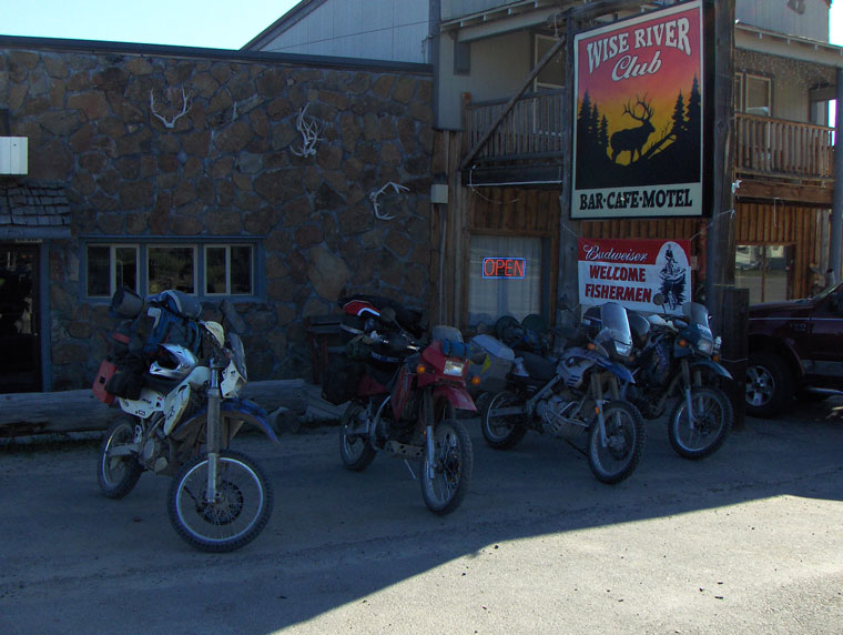
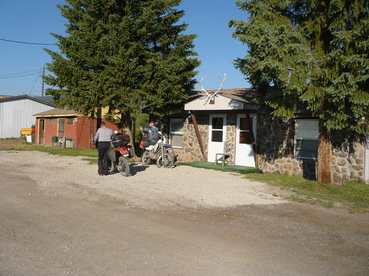
Frank and Steve backtracked to the highway and met Mike and myself in Wise River, MT at the Wise River Club Bar/Motel/Cafe for an excellent burger and beer (or several) and a cabin to crash in. The club had a fireworks display in front of the bar in the middle of the highway. Very, very nice, despite all the troubles, it was an awesome day.
Steve's Fleecer mtn video commentary. High quality Low quality Google video
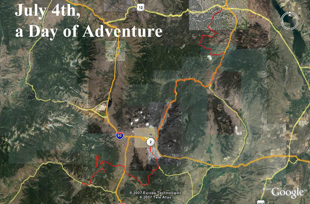
A satellite image with the Fleecer section marked with elevation and distance. The white line above the route is 500 feet long to give and idea how much the elevation changes in a pretty short distance.
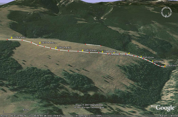
With the GPS track
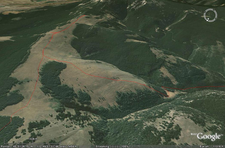
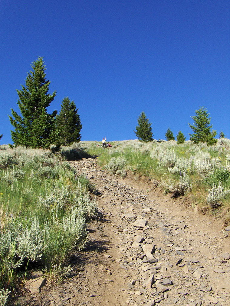
Seen from the west, the trail can be seen without the track.
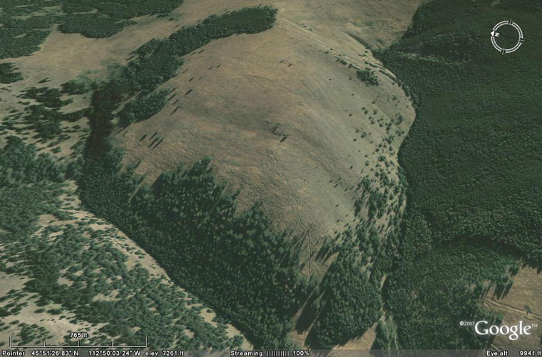
Looking over the edge to the steeper part where I crashed.
Steve wisely stopped to look before attempting to ride down the steeper part.
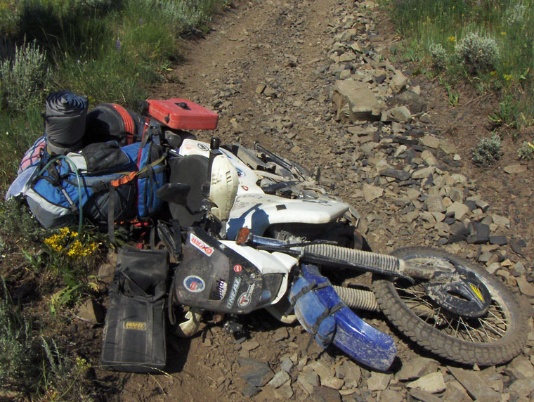
The carnage.
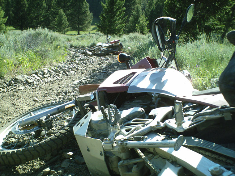
The carnage from below.
More carnage.
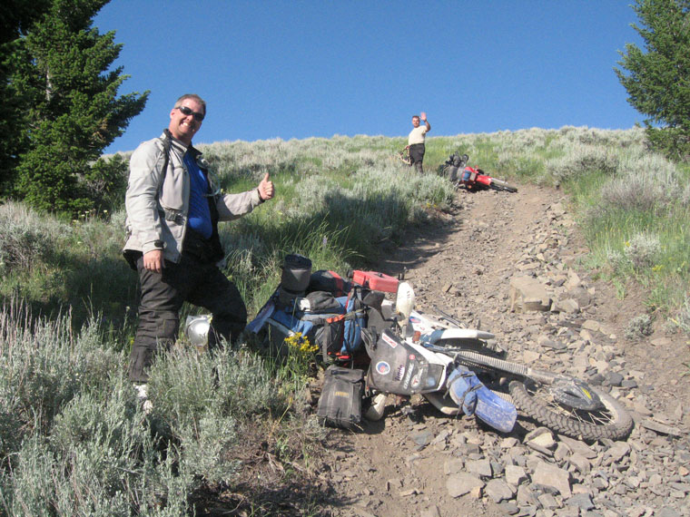
Pushing Frank up the hill to get him going to go get help. After overheating his clutch and tipping over a few times, we off loaded all his gear and finally got him going.
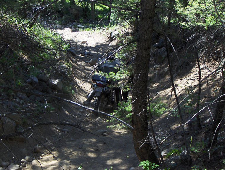
Looking back up after I started hauling all my gear down the hill.
Looking down the rest of the hill while hauling my gear down.
One of our rescuers heading back up the hill after dropping off our gear.
A shot taken from the bottom facing level into the hill to give an idea of its steepness.
The Wise River Club where we enjoyed a good beer, dinner, a restful night's sleep, and a good breakfast . The people who run it are very nice and friendly.
Our ride for the day, only 165 miles.